
Geological Mapping in Türkiye
Geological mapping is one of the fundamental geological studies carried out to identify the geological structure of a mining area, determine rock units and evaluate the distribution of mineralization within the site.
Creating accurate and up-to-date geological data in mining exploration and development activities can help provide more comprehensive assessments of the site. During geological mapping studies, surface rocks, geological boundaries, fault and fracture systems, alteration areas and mineralization indicators may be examined.
Azurit Mining Engineering provides consultancy services for planning geological mapping studies in mining areas, evaluating field data and transferring the obtained information into technical reports for mining projects in Türkiye.
What Is Geological Mapping?
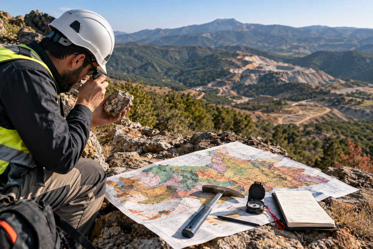
Geological mapping is the systematic study of the surface geology of a mining area and the representation of the geological data obtained on a map.
During the study, different rock units, geological boundaries, structural features, alteration zones and mineralization indicators may be identified.
The data obtained from field studies can help understand the general geological structure of the ore deposit and plan subsequent exploration activities in Türkiye.
Geological Mapping Services
Azurit Mining Engineering provides geological mapping services at different stages according to the scope of the project and the characteristics of the mining area in Türkiye.
Field Geological Investigations
One of the fundamental stages of geological mapping is field investigation.
Rocks observed in the field, mineralization indicators, alteration areas, faults, fractures and other geological characteristics can be examined and recorded.
Identification of Rock Units
Rock units present in the area are identified and their characteristics and distribution are evaluated.
The lithological characteristics of the rocks, their relationships with each other and their locations within the area may be considered during geological mapping studies.
Assessment of Fault and Fracture Systems
Fault and fracture systems may be important geological features in terms of the formation of an ore deposit and the distribution of mineralization.
The locations, directions and distribution of these structures within the site can be examined and included in the geological assessment.
Alteration and Mineralization Assessment
Alteration areas and mineralization indicators are important components of geological mapping studies.
Using field observations and available technical data, the surface distribution of mineralization and related geological characteristics can be evaluated.
Geological Map and Data Creation
Geological information obtained from field studies can be mapped to create an organized data set.
Geological maps can be among the fundamental data used in subsequent drilling, sampling and resource assessment studies in Türkiye.
Geological Reporting
Field observations, maps, coordinate information, rock descriptions and mineralization data obtained through geological mapping can be evaluated in technical reports.
The prepared reports can support the planning of subsequent exploration and development activities according to the requirements of the project.
Importance of Geological Mapping in Mining Exploration
Geological mapping can provide an important source of data for planning mining exploration activities.
Through mapping studies:
The general geological structure of the site can be identified.
Rock units can be determined.
Fault and fracture systems can be assessed.
Alteration areas can be identified.
Mineralization indicators can be examined.
Geological data can be created for drilling targets.
Sampling activities can be planned.
The general structure of the ore deposit can be assessed.
For this reason, geological mapping can be considered one of the fundamental stages of mining exploration and resource assessment studies in Türkiye.
Geological Mapping and Drilling Activities
The data obtained from geological mapping can be used to plan drilling activities.
Mineralization indicators, alteration areas, fault and fracture systems and other geological characteristics identified at the surface can be evaluated to determine potential drilling target areas.
After drilling results are obtained, these data can be evaluated together with surface geology to create a more comprehensive geological model of the continuation of the ore deposit at depth.
Geological Mapping and Resource Assessment
The data obtained during geological mapping can contribute to the technical infrastructure of resource assessment studies.
Surface geology, drilling data, sample analyses and other technical information can be evaluated together to examine the geological characteristics of the ore deposit more comprehensively.
For this reason, geological mapping is an important technical study that can be carried out before or together with resource and reserve studies in Türkiye.
Geological Mapping with Azurit Mining Engineering
Azurit Mining Engineering provides geological mapping services to evaluate the geological structure of mining areas and create geological data for mining projects in Türkiye.
The services may include:
Field geological investigations
Identification of rock units
Assessment of fault and fracture systems
Alteration assessments
Mineralization assessments
Geological map creation
Geological data assessment
Geological report preparation
Since the geological structure and working conditions of each mining area may differ, geological mapping studies should be planned according to the specific characteristics of each site.
For information about geological mapping services in Türkiye and to request a technical assessment for your mining area, you can contact Azurit Mining Engineering.